
Leaders in the industry
Cartographic Production
At Octocam-Maps we have a team of highly qualified experts in the generation of cartographic products, converting captured images into valuable information. We generate point clouds, digital terrain models, orthophotos and vector models.
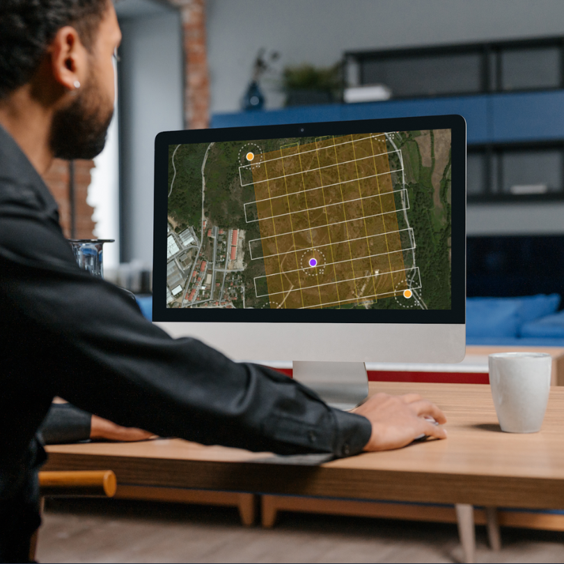
We transform images into accurate and valuable data.
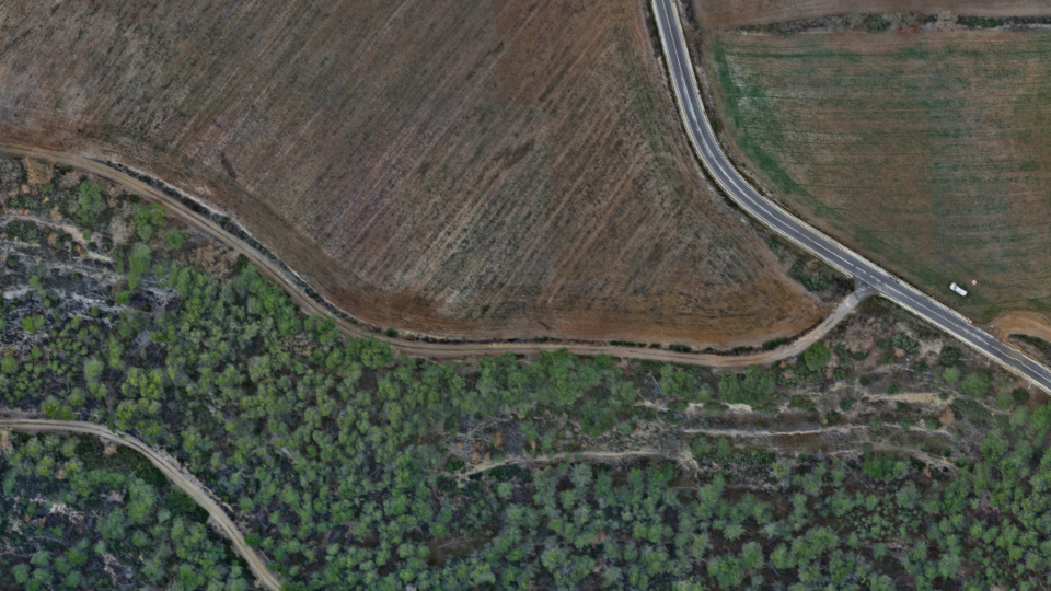
Generation of Orthophotos
Orthophoto generation is the union of a multitude of images with a certain degree of overlap between them, generating a single image from all of them. This service is essential for cartography, urban planning and resource management, providing a clear and accurate view of the terrain.
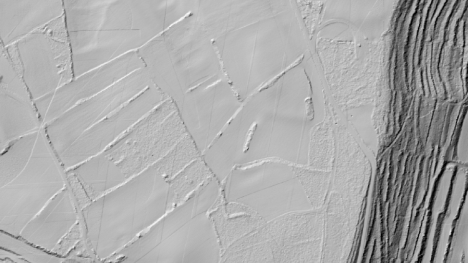
Digital Terrain Model
We use state-of-the-art technology to generate digital models from LiDAR or photogrammetry data.
Our exclusive interpolation method guarantees maximum accuracy, avoiding triangulation errors and maintaining the original fidelity of the data.
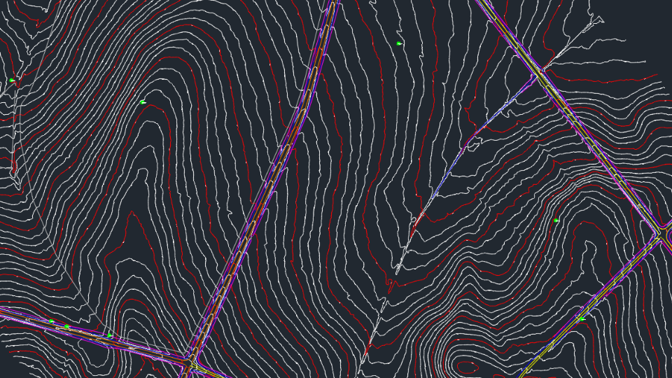
Vectorial Cartography
From data obtained by photogrammetry, LiDAR or a combination of both, we generate digital cartography adapted to the needs of the project. Our level of detail is customisable for urban, rural or mixed areas.
Top #1 engineers
Experts in LiDARMappingPhotogrammetryTopographyMultispectralOrthophotosInspectionsScan to BIMLaser ScannerSoftware
Contact
What do you need?
Contact us.

What do you need?
Newsletter
Subscribe to our newsletter and discover the latest product updates and industry news
Octocam-Maps © 2024