
Leaders in the industry
Laser scanner
Laser Scanning or Static LiDAR is an advanced technology that uses a laser system to capture detailed 360-degree environmental data in a digital point cloud format. This service is crucial for obtaining accurate measurements and representations of structures and terrain, supporting engineering, architecture and heritage projects.
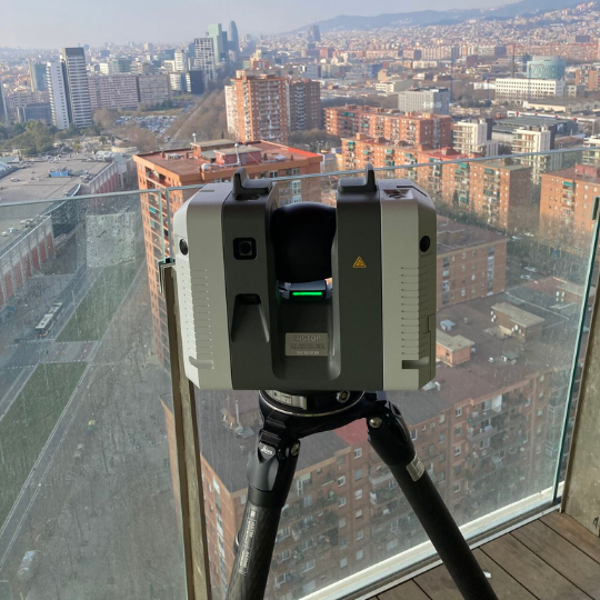
Laser Scanner
LiDAR Leica RTC to capture details of environments.
At Octocam Maps, we take accuracy to another level with our Laser Scanner service. This advanced technology is ideal for capturing details of environments and structures with pinpoint accuracy, providing critical data for a variety of applications.
Technical specifications:
We use the Leica RTC 360 Lidar, a state-of-the-art device capable of obtaining 2 million points per second with an accuracy of ±2 mm. This stationary system captures data in 360 degrees, allowing large areas and complex structures to be scanned. The high density of captured points provides a detailed and complete representation of the scanned environment.

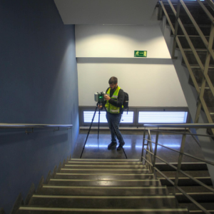


Octocam Maps Static LiDAR experts
Advantages of the Laser Scanner
High Resolution Data
We capture data with millimetre resolution and accuracy, crucial for detailed analysis and precise designs.
Catch Efficiency
Our technology enables fast and efficient scans of large structures and terrain.
Project Versatility
Ideal for reverse engineering, BIM and more, our service adapts to a variety of project needs.
Top #1 engineers
Experts in LiDARMappingPhotogrammetryTopographyMultispectralOrthophotosInspectionsScan to BIMLaser ScannerSoftware
Contact
What do you need?
Contact us.

What do you need?
Newsletter
Subscribe to our newsletter and discover the latest product updates and industry news
Octocam-Maps © 2024