
Leaders in the industry
Infrastructure inspection
At Octocam Maps, we offer Visual Infrastructure Inspection services, a service that uses drones with high-resolution and thermal cameras to examine infrastructure such as bridges, viaducts and buildings in detail. It is essential for structural integrity assessment and preventive maintenance.
Play Video
Visual Inspection
Drones for infrastructure inspections
Our drones feature high-resolution cameras with up to 200x zoom, enabling accurate detection of cracks and other features from great distances. We combine imaging technology with thermal sensors to detect moisture and other structural problems, even in low light conditions.
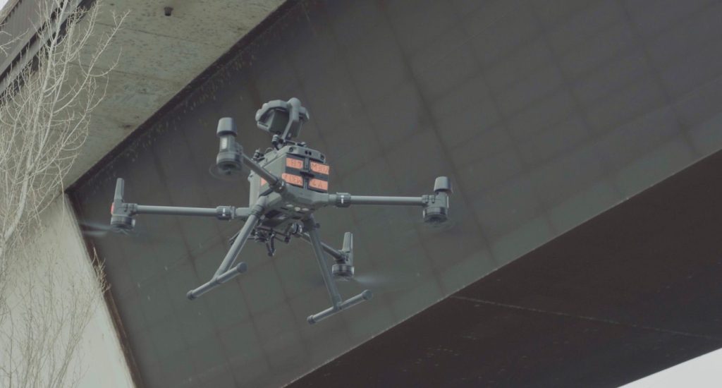
Visual infrastructure inspections are carried out with the DJI Matrice 300 drone and the P1 and H20T sensors.
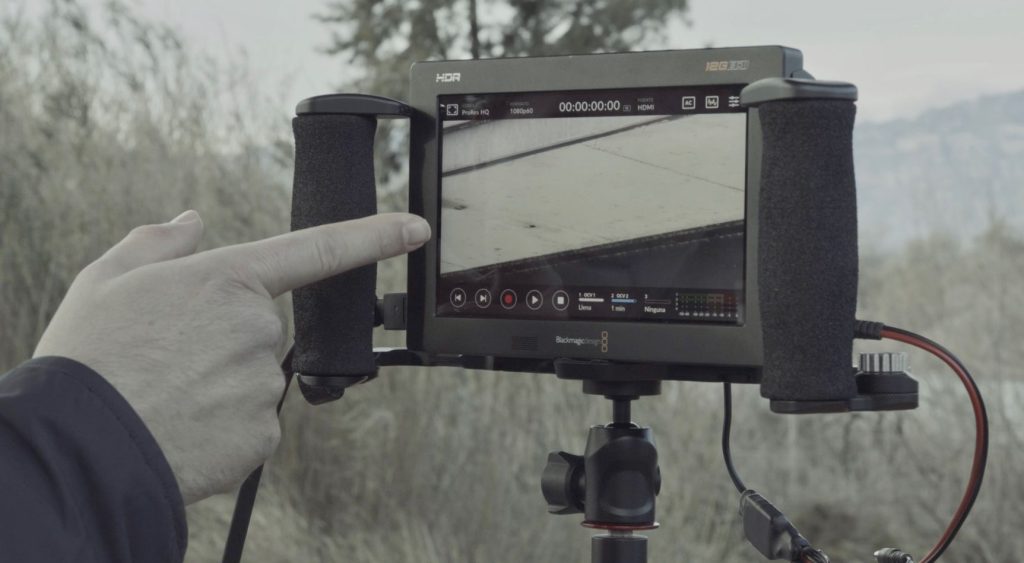
With its enormous zoom capability and resolution, we are able to inspect any anomaly in the structure.
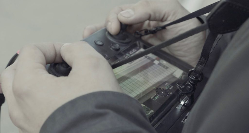
We combine imaging technology with thermal sensors to detect dampness and other structural problems.
Radiometric thermal cameras
Thermography with drones
Thermal inspection, or thermography, is one of Octocam Maps’ specialities. We use drones equipped with radiometric thermal cameras to detect and analyse temperature variations in various structures and installations.
Technical specifications:
Our rotary-wing drones, with a flight time of up to 40 minutes, are equipped with zoomable RGB sensors and radiometric thermal cameras. This allows us to identify hot spots and other thermal anomalies in installations such as solar panels, cooling towers and power lines.
Octocam Maps infrastructure inspection experts
Advantages of drone inspections
High Detail Images
We capture images with an unprecedented level of detail, crucial for infrastructure assessment.
Imperfection Detection
We identify cracks and defects accurately, improving maintenance planning.
Secure Evaluations
We carry out inspections without putting operators at risk, ensuring a safer working environment.
Top #1 engineers
Experts in LiDARMappingPhotogrammetryTopographyMultispectralOrthophotosInspectionsScan to BIMLaser ScannerSoftware
Contact
What do you need?
Contact us.

What do you need?
Newsletter
Subscribe to our newsletter and discover the latest product updates and industry news
Octocam-Maps © 2024